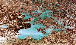
• PROBAV_S1_TOC_20180105_100M_NAmerica_Canada_LakeErie_NRB.jpg
  • Christmas.jpg
  • S1_TOC_20170405_100M_Bolivia_Potosi_SalardeUyuni_NRB.jpg
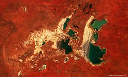
  • PROBAV_S1_TOA_20170209_100M_LakeNeale_Australia_NRB.jpg
  • S5_TOA_20170211_100M_Asia_China_Hung-tse_lake_NRB.jpg
  • S1_TOC_20170215_100M_Nebraska-SDakota_LewisAndClarckLake.jpg
  • S5_TOA_20170211_100M_China_Nanchang_Poyanglake_NRB.jpg
  • S5_TOC_20170216_100M_Asia_China_Golmud_SNB.jpg
  • S5_TOC_20170216_100M_China_West_TaijiNaier_lake_SNB.jpg
  • S5_TOC_20170306_100M_Canada_Lake_of_the_Woods_NRB.jpg
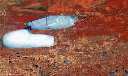
  • S5_TOA_20170521_100M_Africa_Botswana_Nwetwe_Pan_NRB.jpg
  • S1_TOC_20170406_100M_USA_Minnesota_PineIslandStateForest2.jpg
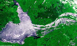
  • L2A_20170517_2_100M_Canada_Lake Claire_SNB.jpg
  • S1_TOA_20170121_100M_V101_Europa_Balaton.jpg
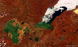
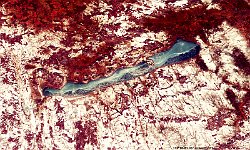
  • S1_TOC_20160515_100M_NAmerica_Canada_NorthwestTerrititories_GreatSlaveLake_SNB.jpg
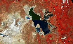
  • PROBAV_S1_TOC_20160604_100M_SaltLake_Utah_NRB.jpg
         

10 / 52

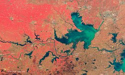
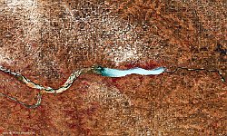
Lewis and Clarke Lake, USA

The 100 m false-colour image of 21 May 2017 shows us the Lewis and Clark Lake, USA. Lewis and Clark Lake is an impoundment on the Missouri River near Yankton, South Dakota. It is located on the border of South Dakota and Nebraska. The reservoir is approximately 40 km long, with a surface area of 130 km²; it has a maximum depth of 14 m. It is the smallest of the Pick-Sloan Plan impoundments.
Date: 15/02/2017
Resolution: 100m
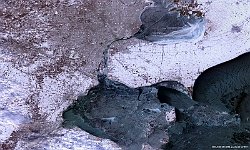
Lewis and Clarke Lake, USA