11 / 16
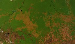
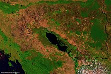
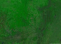
Deforestation, Cambodia
The 100 m false-color image of 21 January 2015 shows the deforestation areas as brown patches, while areas that still contain rain forest are shown in green. Further, Lake Tonle Sap and the Mekong River are visible in the lower and right image part, respectively. Just north of the lake, the famous Angkor Wat temple complex can be recognized by the rectangular shape.
Date: 21/01/2015
Resolution: 100m
