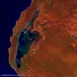
• S1_TOC_20150616_100M_Oceania_Australia_WesternAustralia_LakeMoore_NRB.jpg
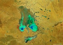
  • S1_TOC_20150624_100M_Oceania_Austalia_WestAustralia_LakeMacleod_SNB.jpg
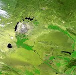
  • S1_TOA_20150703_100M_Australia_Lake_Eyre.jpg
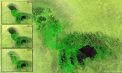
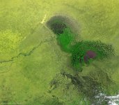
  • LakeChad_Africa_Composiet_March_2014_2016.jpg
  • PROBAV_S1_TOA_20160122_100M_PoopoLake_Bolivia_SNB.jpg
  • S1_TOC_20150316_100M_Oceania_Australia_Queensland_LakeMachattie_NRB.jpg
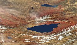
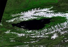
  • S1_TOA_20150812_100M_Asia_Kyrgyzstan_IssykKul.jpg
  • S1_TOC_20140629_100M_Africa_Chad_LakeChad.jpg
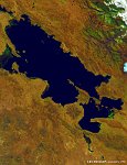
  • S1_TOA_20140606_100M_SAmerica_Peru_Titicaca.jpg
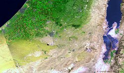
  • S1_TOA_20140411_100M_Dead_Sea.jpg
  • S1_TOC_20140212_100M_Australia_Saltlake.jpg
  • S1_TOA_20150101_333M_Asia_China_Poyang_Canvas.jpg
  • S1_TOC_20141010_100M_USA_Utah_SaltLake.jpg
  • S1_TOC_20140926_333M_America_TheGreatLakes.jpg
  • S1_TOC_20140920_100M_Asia_Kyrgyzstan_IssykKul.jpg
  • S1_TOA_20140912_333M_Asia_Uzbekistan_AralSea.jpg
         

41 / 52

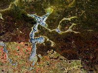
Lake Machattie, Queensland, Australia

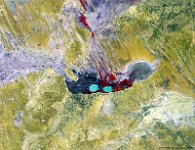
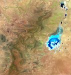
The Lake Machattie area is located in the southwestern part of Queensland and covers about 900 km2. The area is on average replenished with water from the Georgina River every 3 years and contains three lakes: Lake Machattie, Lake Mipia, and Lake Koolivoo. These lakes become gradually more saline during the dry summer period. The region is a designated Important Bird and Biodiversity Area (IBA) and harbours among others the Australian Pelican, Straw-necked Ibis, and the Sharp-tailed Sandpiper. The 100 m image shows the lake during the dry season. The red areas indicate the various branches of the Georgina River, while the light-blue areas denote salt planes.
Date: 16/03/2015
Resolution: 100m
Lake Machattie, Queensland, Australia