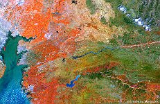
• S1_TOA_20160322_100M_N America_Mexico_mina.jpg
  • S1_TOA_20150113_100M_china_smog.jpg
  • PROBAV_S1_TOA_20150822_100M_Europe_Denmark.jpg
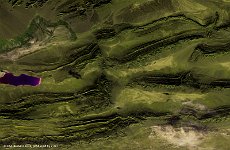
  • S1_TOC_20150708_100M_Oceania_Austalia_WestAustralia_BarleeRange_NRB.jpg
  • WorldSpaceWeek.jpg
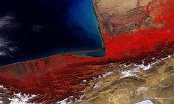
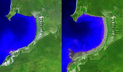
  • PROBAV_S1_TOC_20160308_100M_Caspian_Sea_NRB.jpg
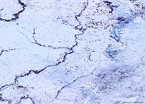
  • S1_TOC_20150123_100M_Europe-Russia_snow.jpg
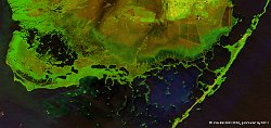
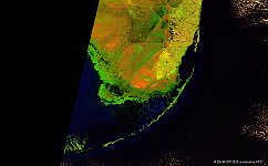
  • PROBAV_S1_TOA_20160227_100M_Everglades_Florida.jpg
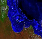
  • S1_TOC_20150708_100M_Oceania_Australia_Queensland_GreatBarrierReef_SNB.jpg
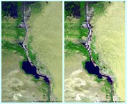
  • S1_TOA_20151208_100M_China_Kizilsu.jpg
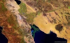
  • PROBAV_S1_TOA_20150929_100M_GolfoDeSantaClara_SNB.jpg
  • S1_TOA_20150125_100M_PumpkinKey_Florida.jpg
  • S1_TOC_20150616-20150625_100M_Oceania_WesternAustralia_Broome_RNB.tif
  • S1_TOC_20150426_100M_Asia_India_Mubai.jpg
  • S1_TOC_20150718_100M_Africa_Egypt_Suez_Canal.jpg
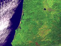
  • S1_TOA_20150610_100M_Oregon_Roseburg_SNB.jpg
         

51 / 84

Caspian Sea, Iran-Turkmenistan

PROBA-V observations are increasingly used for water quality applications, such as information on chlorophyll concentration and water-suspended materials. The 100 m false-colour image of 8 March 2016 shows a potential application, with high Atrak river sediment concentrations that can be recognised by light-blue taints along the south-eastern Caspian coast. Further, the lower image part shows snow-covered peaks from the Alborz mountain range, while in the lower-right corner the Haj Aligholi Salt Lake is partly visible in white.
Date: 08/03/2016
Resolution: 100m
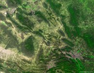
Caspian Sea, Iran-Turkmenistan