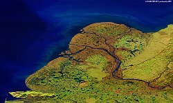
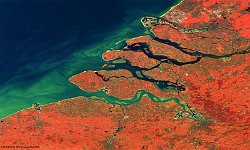
• PROBAV_S1_TOA_20161204_100M_TheNetherlands_Dikes_NRB.jpg
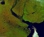
  • S1_TOA_20161015_100M_NAmerica_Yukondelta_SNB.jpg
  • S1_TOA_20160815_100M_SNB_Noordkaap_KAKAMAS_oranjerivier.jpg
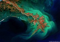
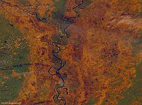
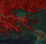
  • S5_TOA_20161006_100M_USA_Louisiana_Mississippi_NRB.jpg
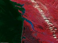
  • PROBAV_S1_TOA_20160505_100M_Europe_France_Gironde.jpg
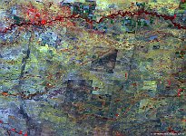
  • S1_TOC_20160915_100M_SnakeRiverPlain_Idaho_NRB.jpg
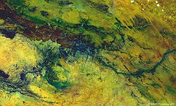
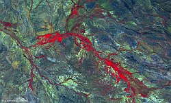
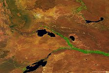
  • S1_TOC_20150624_100M_Oceania_Austalia_WestAustralia_AshburtonRiver_NRB.jpg
  • PROBAV_S1_TOA_20160612_100M.jpg
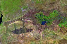
  • S1_TOA_20141125_100M_Africa_Zimbabwe_Blue-Lagoon_SNB_1.jpg
  • S1_TOA_20151021_100M_USA_Arkansas_Mississippi river.jpg
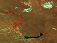
  • S1_TOA_20160223_100M_S_America_Argentinia.jpg
  • S1_TOA_20160228_100M_S_America_Argentinia_dique casa de piedra.jpg
  • S1_TOC_20150409_Oceania_Australia_NewSouthWales_MurrumbidgeeRiver_RNB.jpg
  • S1_TOC_20150516_Oceania_Australia_NewSouthWales_FourCorners_NRB.jpg
  • S1_TOC_20150905_333M_Argentina_Rio de plate.jpg
  • S5_TOA_20150326_100M_NAmerica_Atchafalaya_NRB.jpg
         

23 / 62

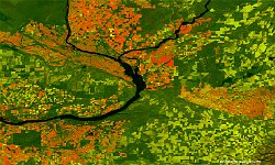
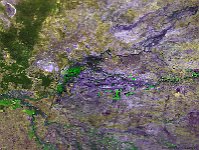
Columbia River, USA

In this false-colour, 100 m resolution image captured in mid September 2016, the brown mountains and urban environment (along the northwest branch of Columbia River), the dark rivers, the green patchwork and green-to-orange spots of crop fields make for a colour palette that reminds us of the Autumn season. In the centre of the image, where the river suddenly narrows just south of the pivot fields, it passes by a national landmark – the Wallula Gap.
Date: 15/09/2016
Resolution: 100m
Columbia River, USA