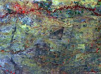
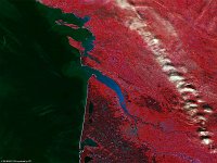
• PROBAV_S1_TOA_20160505_100M_Europe_France_Gironde.jpg
  • S1_TOC_20160915_100M_SnakeRiverPlain_Idaho_NRB.jpg
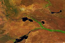
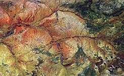
  • S1_TOC_20150624_100M_Oceania_Austalia_WestAustralia_AshburtonRiver_NRB.jpg
  • PROBAV_S1_TOA_20160612_100M.jpg
  • S1_TOA_20141125_100M_Africa_Zimbabwe_Blue-Lagoon_SNB_1.jpg
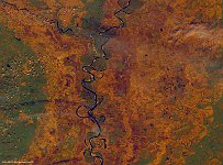
  • S1_TOA_20151021_100M_USA_Arkansas_Mississippi river.jpg
  • S1_TOA_20160223_100M_S_America_Argentinia.jpg
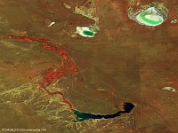
  • S1_TOA_20160228_100M_S_America_Argentinia_dique casa de piedra.jpg
  • S1_TOC_20150409_Oceania_Australia_NewSouthWales_MurrumbidgeeRiver_RNB.jpg
  • S1_TOC_20150516_Oceania_Australia_NewSouthWales_FourCorners_NRB.jpg
  • S1_TOC_20150905_333M_Argentina_Rio de plate.jpg
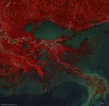
  • S5_TOA_20150326_100M_NAmerica_Atchafalaya_NRB.jpg
  • S1_TOC_20150625_100M_Oceania_Austalia_WestAustralia_HopeRiver_SNB.jpg
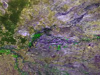
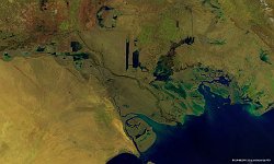
  • S1_TOA_20151226_100M_iran_irak_SNB.jpg
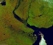
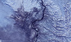
  • S1_TOC_20151006_100M_Asia_Siberia_Lena_NRB.jpg
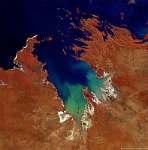
  • S1_TOC_20150616_100M_Oceania_Western-Australia_KingSound_NRB.jpg
         

27 / 62

Mississippi Delta, Bolivar County

The 100 m false-colour image of 21 October 2015 shows us the Mississippi Delta in Bolivar County. Technically the area is not a delta but part of an alluvial plain, created by regular flooding of the Mississippi and Yazoo rivers over thousands of years. This region is remarkably flat and contains some of the most fertile soil in the world. It is two hundred miles long and seventy miles across at its widest point, encompassing circa 4,415,000 acres, or, some 7,000 square miles of alluvial floodplain. The shifting river delta at the mouth of the Mississippi on the Gulf Coast lies some 300 miles south of this area, and is referred to as the Mississippi River Delta. The two should not be confused.
Date: 21/10/2015
Resolution: 100m
Mississippi Delta, Bolivar County