• S1_TOC_20150316_100M_Oceania_Australia_Queensland_GeorginaRiver_NRB.jpg
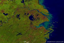
  • S1_TOC_20150804_333M_Asia_Yellow_River.jpg
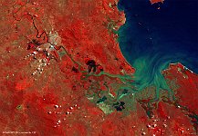
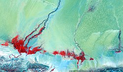
  • S1_TOC_20150318_100M_Oceania_Australia_Queensland_FitzroyRiver.jpg
  • S1_TOC_20150609_100M_Asia_Russia_Volga.jpg
  • S1_TOA_20150803_100M_Asia_Myanmar_floods.jpg
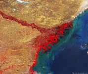
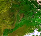
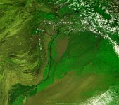
  • S1_TOC_20150804_Asia_Pakistan_Indus.jpg
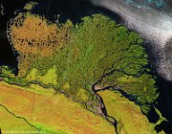
  • S1_TOA_20140727_100M_Asia_Russia_Lena_SNR2.jpg
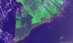
  • S1_TOA_20150318_100M_SouthEastAsia_Vietnam.jpg
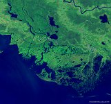
  • S1_TOA_20150118_100M_NAmerica_USA_Mississippi.jpg
  • S1_TOA_20141015_100M_NAmerica_USA_Atchafalaya.jpg
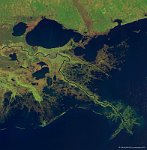
  • S1_TOA_20150210_100M_NAmerica_USA_New-Orleans_SNB_2.jpg
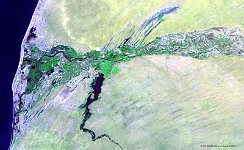
  • S1_TOA_20141107_100M_Africa_mauretania_senegal.jpg
  • S1_TOA_20140811_100M_Asia_China_Hotan.jpg
  • S1_TOA_20140910_333M_Asia_Pakistan_JhelumRiver.jpg
  • S1_TOA_20140814_333M_Asia_Pakistan_IndusRiver.jpg
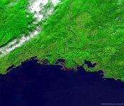
  • S1_TOC_20140806_100M_Europe_France_Rhône.jpg
         

46 / 62

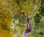
Floods, Pakistan

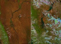
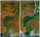
Heavy monsoon rains, rapid snow melting, and outbursts from glacial lakes between 16 and 22 July 2015 caused large floods of the Indus River in eastern Pakistan. As of 4 August, about 1.3 million people were affected, more than 6,000 houses and over1,000 km² of crop land area were destroyed (source: United Nations Office for the Coordination of Humanitarian Affairs). The Indus River originates at the Tibetan Plateau and flows through Tibet, western India, and eastern Pakistan. It has a length of 3,180 km and a total drainage area of about 1,165,000 km². Presented are PROBA-V 300 m images of the Indus River flowing through eastern Pakistan at 28 June 2015 (right panel) and 4 August 2015 (left panel), showing the enormous flood extent.
Date: 04/8/2015
Resolution: 300m
Floods, Pakistan