15 / 62
Missouri, USA
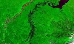
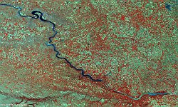
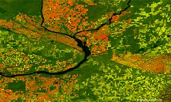
The 100 m false-colour image of 7 May 2017 shows us Missouri River in South Dakota, USA.
The Missouri River is the longest river in North America. Rising in the Rocky Mountains of western Montana, the Missouri flows east and south 3,767 km before entering the Mississippi River north of St. Louis, Missouri.
During the 20th century, the Missouri River basin was extensively developed for irrigation, flood control and the generation of hydroelectric power. Fifteen dams impound the main stem of the river, with hundreds more on tributaries. Meanders have been cut and the river channelized to improve navigation, reducing its length by almost 320 km from pre-development times. Although the lower Missouri valley is now a populous and highly productive agricultural and industrial region, heavy development has taken its toll on wildlife and fish populations as well as water quality.
Date: 07/05/2017
Resolution: 100m
