13 / 21
James Bay, Canada
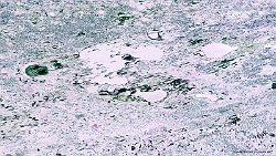
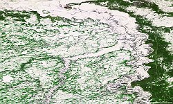
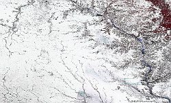
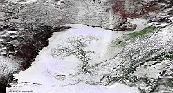
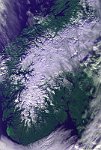
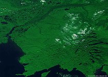
The 100 m false-colour image of 2 October 2015 shows us James Bay, covered with ice. James Bay is a large body of water on the southern end of Hudson Bay in Canada. Both bodies of water extend from the Arctic Ocean, of which James Bay is the southernmost part. James Bay represents the southern extent of the Arctic Archipelago Marine ecozone. While the coastal areas are primarily in the Hudson Plains, the northeastern coast bordering Quebec is in the Taiga Shield ecozone. This rocky and hilly eastern shore forms the western edge of the Canadian Shield in Quebec and as such the main habitat is boreal forest of the Eastern Canadian Shield taiga ecoregion. The western shore however is characterised by broad tundra lowlands that are an extension of the Hudson Bay Lowlands and the vegetation is mostly muskeg bog. A large portion of this area is part of the Polar Bear Provincial Park. Hundreds of rivers flow into James Bay.
Date: 02/01/2015
Resolution: 300m
