15 / 21
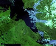
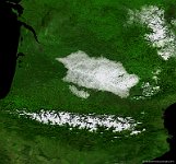
Lake Winnipegosis, Canada
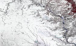
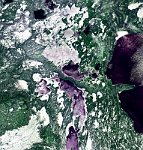
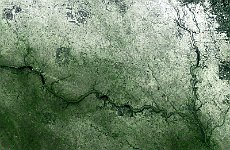
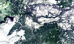
The 100 m false-colour image of 28 November 2015 shows us ice in Lake Winnipegosis, or simply 'Lake Winipigis' in the province Manitoba in the centre of Canada. The lake's name derives from that of Lake Winnipeg, with a diminutive suffix. Winnipeg means 'big muddy waters' and Winnipegosis means 'little muddy waters'. Southern Manitoba, falls into the humid continental climate zone. This area is cold and windy in the winter and has frequent blizzards because of the open landscape. Summers are warm with a moderate length. This region is the most humid area in the prairie provinces, with moderate precipitation.
Date: 28/11/2015
Resolution: 100m
