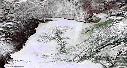
• S5_TOC_20161116_100M_Asia_Russia_Okrug_RNB.jpg
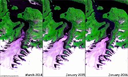
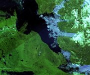
  • GlacierJorgeMontt_Chile.jpg
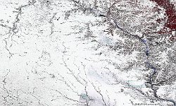
  • PROBAV_S5_TOC_20161211_100M_Snow_Canada_NRB.jpg
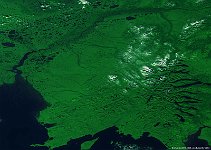
  • S1_TOA_20160223_100M_N America_yukon_delta_RGB.jpg
  • S1_TOA_20150102_333M_NAmerica_Fort_George_HudsonBay.jpg
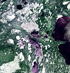
  • S1_TOA_20150703_100M_NAmerica_Canada_Ulukhaktok.jpg
  • S1_TOA_20151128_100M_Canada_Grand rapids.jpg
  • S1_TOA_20151128_100M_Canada_Yorkton.jpg
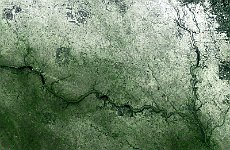
  • S1_TOA_20151128_100M_Canada_Saskatchewan.jpg
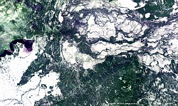
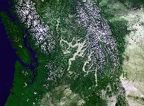
  • S1_TOA_20151127_333M_British_Columbia_Canada.jpg
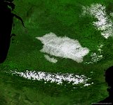
  • S1_TOC_20150101_333M_SouthFrance_Pyrenees.jpg
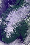
  • S1_TOA_20141106_333M_Europe_Norway.jpg
  • S1_TOA_20141006_333M_N-America_USA_Alaska.jpg
         

14 / 21

Amundsen Gulf, Canada

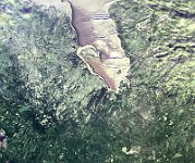
The 100 m false-colour image of 3 July 2015 shows us huge ice shelfs in the Amundsen Gulf, Canada. The entire gulf is in the Arctic tundra climate region, characterized by extremely cold winters. In late winter the Amundsen Gulf is covered in sea ice. Most of the ice breaks up in July during a normal year, with some areas in the far eastern and northern part of the gulf only breaking up in August. Beluga whales, seals, Arctic char, cod, and even salmon use the waters of the gulf, salmon showing up for the first time off of Sachs Harbour between 1999 and 2001.
Date: 03/07/2015
Resolution: 100m
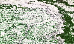
Amundsen Gulf, Canada