10 / 41
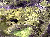
Sahara Desert, Mauritania
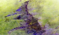
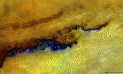
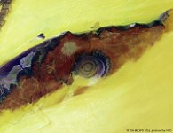
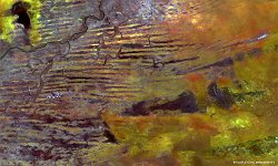
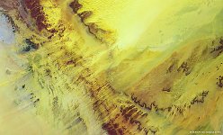
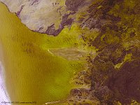
In the sands of the Sahara Desert, in central southern Mauritania, a long sandstone cliff formation marks the edge between the depression that remains from the ancient Aoukar lake (to the south) and the Tagant Plateau. This PROBA-V image highlights the contrast between the sand dunes of the depression, the dark-coloured slopes and the stony plateau.
In this barren and hot area, along the slopes, a number of historical towns are being encroached by the desert. One example is the fortified village or ksour of Tichit (further to the east), protected as World Heritage Site by UNESCO for its value to Islamic culture, religion and trans-Sahara trade.
Even older sites of archaeological importance, such as Dhar Tichit, are found in the area as well, dating back until 3000 to 2500 years ago, when the area had a more temperate climate.
Date: 10/06/2016
Resolution: 100m
