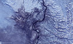
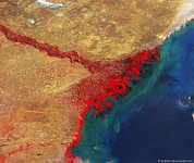
• S1_TOA_20151226_100M_iran_irak_SNB.jpg
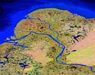
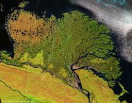
  • S1_TOC_20151006_100M_Asia_Siberia_Lena_NRB.jpg
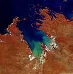
  • S1_TOC_20150616_100M_Oceania_Western-Australia_KingSound_NRB.jpg
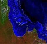
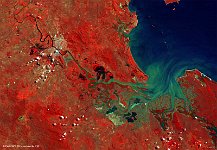
  • S1_TOC_20150708_100M_Oceania_Australia_Queensland_GreatBarrierReef_SNB.jpg
  • S1_TOA_20140906_100M_NAmerica_USA_Yukon_SNR3.jpg
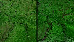
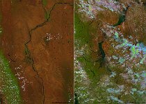
  • S1_TOA_20160102_100M_NAmerica_Mississippi.jpg
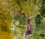
  • S1_TOC_20150316_100M_Oceania_Australia_Queensland_GeorginaRiver_NRB.jpg
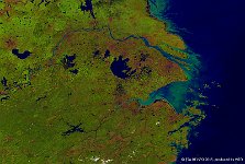
  • S1_TOC_20150804_333M_Asia_Yellow_River.jpg
  • S1_TOC_20150318_100M_Oceania_Australia_Queensland_FitzroyRiver.jpg
  • S1_TOC_20150609_100M_Asia_Russia_Volga.jpg
  • S1_TOA_20150803_100M_Asia_Myanmar_floods.jpg
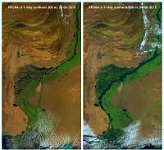
  • S1_TOC_20150804_Asia_Pakistan_Indus.jpg
  • S1_TOA_20140727_100M_Asia_Russia_Lena_SNR2.jpg
  • S1_TOA_20150318_100M_SouthEastAsia_Vietnam.jpg
  • S1_TOA_20150118_100M_NAmerica_USA_Mississippi.jpg
  • S1_TOA_20141015_100M_NAmerica_USA_Atchafalaya.jpg
         

40 / 62

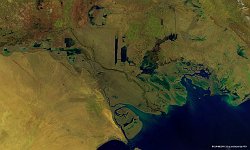
Mississippi flood, USA

During the last week of December 2015, a large low-pressure system slowly moved eastward over the United States, causing heavy precipitation over the Mid-West. Over December 2015, some locations received more than 6 times the normal precipitation amount, which eventually resulted in a record-breaking flooding of the Mississippi River and its tributaries. The images show the confluence of the Mississippi and Ohio River on 13 November 2015 (left) and 2 January 2016 (right). The flood impact is well visible, especially downstream of the confluence point.
Date: 02/01/2016
Resolution: 100m
Mississippi flood, USA