3 / 52
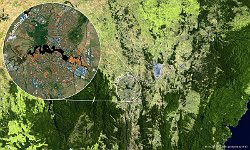
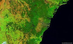
PROBA-V-Sentinel2 Australia Canberra
This week, the Australian capital of Canberra, that translates to “meeting place” in the indigenous language, is the scene of the main event of the Group on Earth Observations: the GEO Week with its Plenary and Ministerial Summit.
The 2019 edition adds specific focus to industry involvement and how Earth Observations can boost sustained and inclusive economic growth. In particular in frontier digital technologies such as Big Data and cloud computing.
As VITO Remote Sensing has contributed to the GEO Work Programme and Initiatives such as e-shape to establish the regional EUROGEO and GEOGLAM through R&D efforts, that make use of PROBA-V data and the MEP platform, it was only befitting to provide a snapshot of Canberra and its surroundings.
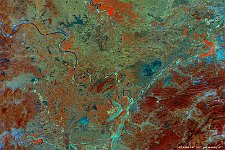
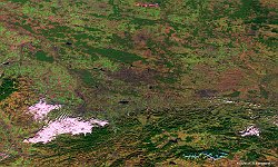
This PROBA-V image and the Sentinel-2 inset show the Australian Capital Territory and the southern part of New South Wales. The capital city Canberra is located between the mountains and forests of national parks to the southeast and southwest, and Lake George to the northeast.
contains modified Copernicus Sentinel data (2019)
Date: 17/10/2019
Resolution: 100m
