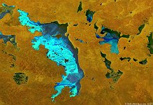
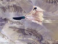
• S1_TOC_20160515_100M_NAmerica_Canada_NorthwestTerrititories_GreatSlaveLake_SNB.jpg
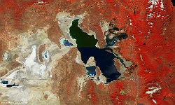
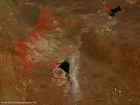
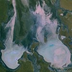
  • PROBAV_S1_TOC_20160604_100M_SaltLake_Utah_NRB.jpg
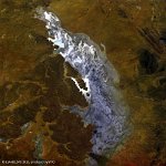
  • S1_TOC_20150421_100M_Oceania_Australia_South_LakeGairdner_SNB.jpg
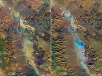
  • composiet_Lake_Badwater.jpg
  • PROBAV_S1_TOA_20140411_100M_irrigatiebekken.jpg
  • PROBAV_S1_TOC_20140426_100M_gansu3.jpg
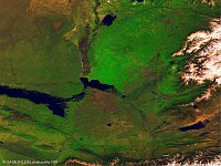
  • S1_TOA_20140713_100M_SNB_Kazachstan.jpg
  • S1_TOA_20141123_100M_china meren_falsecolor.jpg
  • S1_TOA_20151025_333M_Asia_Arallake_SNB.jpg
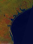
  • S1_TOA_20160224_100M_N America_Gulf of Mexico.jpg
  • S1_TOA_20160228_100M_S_America_Argentinia_laguna liancanelo_nrb.jpg
  • S1_TOA_20160306_100M_Asia_Aydar Lake.jpg
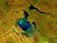
  • S1_TOA_20160401_100M_Europe_Turkey_Tuz Golu.jpg
  • S1_TOC_20140425_100M_Asia_china_desert_Xinjiang.jpg
  • S1_TOC_20150430_Oceania_Australia_SouthAustralia_KatiThanda-LakeEyre_NRB.jpg
  • S1_TOC_20150519_Australia_SouthAustralia_LakeTorrens_NRB.jpg
         

24 / 52

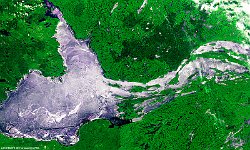
Qaidam Basin, China

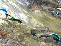
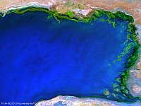
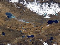
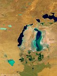
The 100 m image of 26 April 2014 shows us Qaidam Basin, an hyperarid basin with an area of approximately 120,000 km², one fourth of which is covered by saline lakes and playas. By one count, there are 27 such lakes in the basin. In this PROBA-V image we see the West and East Taiji Nai'r Laken at the left side, in the middle Senie Lake and at the right Dabuxun Lake. After zooming in, you can see the infrastructures built for the reclamation of salt and other minerals.
Date: 26/04/2014
Resolution: 100m
Qaidam Basin, China