• S1_TOA_20141123_100M_china meren_falsecolor.jpg
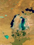
  • S1_TOA_20151025_333M_Asia_Arallake_SNB.jpg
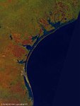
  • S1_TOA_20160224_100M_N America_Gulf of Mexico.jpg
  • S1_TOA_20160228_100M_S_America_Argentinia_laguna liancanelo_nrb.jpg
  • S1_TOA_20160306_100M_Asia_Aydar Lake.jpg
  • S1_TOA_20160401_100M_Europe_Turkey_Tuz Golu.jpg
  • S1_TOC_20140425_100M_Asia_china_desert_Xinjiang.jpg
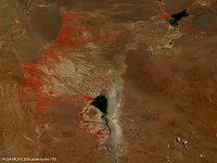
  • S1_TOC_20150430_Oceania_Australia_SouthAustralia_KatiThanda-LakeEyre_NRB.jpg
  • S1_TOC_20150519_Australia_SouthAustralia_LakeTorrens_NRB.jpg
  • S1_TOC_20150606_Australia_SouthAustralia_Marree_NRB.jpg
  • S1_TOC_20150616_100M_Oceania_Australia_WesternAustralia_LakeMoore_NRB.jpg
  • S1_TOC_20150624_100M_Oceania_Austalia_WestAustralia_LakeMacleod_SNB.jpg
  • S1_TOA_20150703_100M_Australia_Lake_Eyre.jpg
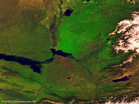
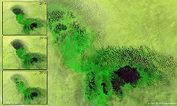
  • LakeChad_Africa_Composiet_March_2014_2016.jpg
  • PROBAV_S1_TOA_20160122_100M_PoopoLake_Bolivia_SNB.jpg
  • S1_TOC_20150316_100M_Oceania_Australia_Queensland_LakeMachattie_NRB.jpg
         

31 / 52

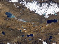
Tuz Gölü, Turkey

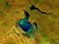
The 100 m false-colour image of 1 April 2016 shows us Lake Tuz, the second largest lake in Turkey with its 1,665 km² surface area and one of the largest hypersaline lakes in the world. The lake, occupying a tectonic depression in the central plateau of Turkey, is fed by two major streams, groundwater, and surface water, but has no outlet. Brackish marshes have formed where channels and streams enter the lake. Arable fields surround the lake, except in the south and southwest where extensive seasonally flooded salt-steppe occurs.
Date: 01/04/2016
Resolution: 100m
Tuz Gölü, Turkey