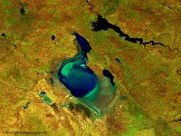
• S1_TOA_20160306_100M_Asia_Aydar Lake.jpg
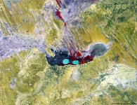
  • S1_TOA_20160401_100M_Europe_Turkey_Tuz Golu.jpg
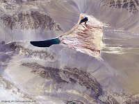
  • S1_TOC_20140425_100M_Asia_china_desert_Xinjiang.jpg
  • S1_TOC_20150430_Oceania_Australia_SouthAustralia_KatiThanda-LakeEyre_NRB.jpg
  • S1_TOC_20150519_Australia_SouthAustralia_LakeTorrens_NRB.jpg
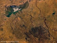
  • S1_TOC_20150606_Australia_SouthAustralia_Marree_NRB.jpg
  • S1_TOC_20150616_100M_Oceania_Australia_WesternAustralia_LakeMoore_NRB.jpg
  • S1_TOC_20150624_100M_Oceania_Austalia_WestAustralia_LakeMacleod_SNB.jpg
  • S1_TOA_20150703_100M_Australia_Lake_Eyre.jpg
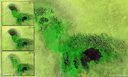
  • LakeChad_Africa_Composiet_March_2014_2016.jpg
  • PROBAV_S1_TOA_20160122_100M_PoopoLake_Bolivia_SNB.jpg
  • S1_TOC_20150316_100M_Oceania_Australia_Queensland_LakeMachattie_NRB.jpg
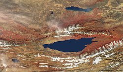
  • S1_TOA_20150812_100M_Asia_Kyrgyzstan_IssykKul.jpg
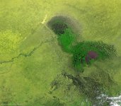
  • S1_TOC_20140629_100M_Africa_Chad_LakeChad.jpg
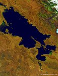
  • S1_TOA_20140606_100M_SAmerica_Peru_Titicaca.jpg
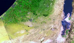
  • S1_TOA_20140411_100M_Dead_Sea.jpg
         

35 / 52

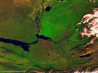
Lake Eyre South, Australia

The 100 m false-colour image of 6 June 2015 shows us the southern part of Lake Eyre, officially known as Kati Thanda–Lake Eyre. Lake Eyre is called after explorer Edward John Eyre, the first European to see it in 1840. The lakes experience small floods every three years, large floods every ten years and fill on average only four times each century. The lake is also the lowest point below sea level on the Australian mainland (-15.2m below sea level).
Date: 06/06/2015
Resolution: 100m
Lake Eyre South, Australia