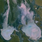
• S1_TOA_20160224_100M_N America_Gulf of Mexico.jpg
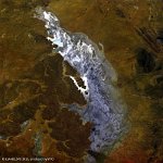
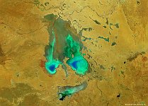
  • S1_TOA_20160228_100M_S_America_Argentinia_laguna liancanelo_nrb.jpg
  • S1_TOA_20160306_100M_Asia_Aydar Lake.jpg
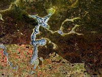
  • S1_TOA_20160401_100M_Europe_Turkey_Tuz Golu.jpg
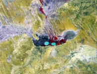
  • S1_TOC_20140425_100M_Asia_china_desert_Xinjiang.jpg
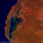
  • S1_TOC_20150430_Oceania_Australia_SouthAustralia_KatiThanda-LakeEyre_NRB.jpg
  • S1_TOC_20150519_Australia_SouthAustralia_LakeTorrens_NRB.jpg
  • S1_TOC_20150606_Australia_SouthAustralia_Marree_NRB.jpg
  • S1_TOC_20150616_100M_Oceania_Australia_WesternAustralia_LakeMoore_NRB.jpg
  • S1_TOC_20150624_100M_Oceania_Austalia_WestAustralia_LakeMacleod_SNB.jpg
  • S1_TOA_20150703_100M_Australia_Lake_Eyre.jpg
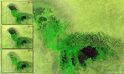
  • LakeChad_Africa_Composiet_March_2014_2016.jpg
  • PROBAV_S1_TOA_20160122_100M_PoopoLake_Bolivia_SNB.jpg
  • S1_TOC_20150316_100M_Oceania_Australia_Queensland_LakeMachattie_NRB.jpg
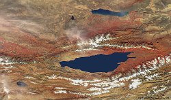
  • S1_TOA_20150812_100M_Asia_Kyrgyzstan_IssykKul.jpg
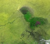
  • S1_TOC_20140629_100M_Africa_Chad_LakeChad.jpg
         

33 / 52

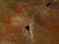
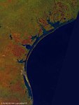
Lake Eyre, Australia

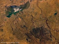
The 100 m false-colour image of 4 April 2015 shows us Lake Eyre, officially known as Kati Thanda–Lake Eyre. Kati Thanda–Lake Eyre is located in the deserts of central Australia, in northern South Australia. The Lake Eyre Basin is a large endorheic system surrounding the lakebed, the lowest part of which is filled with the characteristic salt pan caused by the seasonal expansion and subsequent evaporation of the trapped waters. Even in the dry season there is usually some water remaining in Kati Thanda–Lake Eyre, normally collecting in over 200 smaller sub-lakes within its margins. The lake was formed by aeolian processes after tectonic upwarping occurred to the south subsequent to the end of the Pleistocene epoch.
Date: 30/04/2015
Resolution: 100m
Lake Eyre, Australia