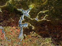
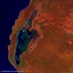
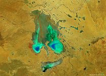
• PROBAV_S1_TOA_20140411_100M_irrigatiebekken.jpg
  • PROBAV_S1_TOC_20140426_100M_gansu3.jpg
  • S1_TOA_20140713_100M_SNB_Kazachstan.jpg
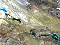
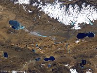
  • S1_TOA_20141123_100M_china meren_falsecolor.jpg
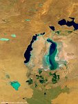
  • S1_TOA_20151025_333M_Asia_Arallake_SNB.jpg
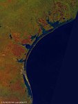
  • S1_TOA_20160224_100M_N America_Gulf of Mexico.jpg
  • S1_TOA_20160228_100M_S_America_Argentinia_laguna liancanelo_nrb.jpg
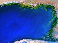
  • S1_TOA_20160306_100M_Asia_Aydar Lake.jpg
  • S1_TOA_20160401_100M_Europe_Turkey_Tuz Golu.jpg
  • S1_TOC_20140425_100M_Asia_china_desert_Xinjiang.jpg
  • S1_TOC_20150430_Oceania_Australia_SouthAustralia_KatiThanda-LakeEyre_NRB.jpg
  • S1_TOC_20150519_Australia_SouthAustralia_LakeTorrens_NRB.jpg
  • S1_TOC_20150606_Australia_SouthAustralia_Marree_NRB.jpg
  • S1_TOC_20150616_100M_Oceania_Australia_WesternAustralia_LakeMoore_NRB.jpg
  • S1_TOC_20150624_100M_Oceania_Austalia_WestAustralia_LakeMacleod_SNB.jpg
  • S1_TOA_20150703_100M_Australia_Lake_Eyre.jpg
         

28 / 52

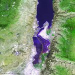
Barrier Islands, Texas

The 100 m false-colour image of 24 February 2016 shows us several barrier islands, near the Texan coast: from the bottom to the top: Padre island, Mustang Island, San Jose Island and Matagorda Island. Padre Island is the largest of the Texas barrier islands and is the world's longest barrier island. It is part of the U.S. state of Texas. The island is located along Texas' southern coast of the Gulf of Mexico and is noted for its white sandy beaches at the south end.
Date: 24/02/2016
Resolution: 100m
Barrier Islands, Texas